
Paul Rutter reports on a summer of activity to create wildlife corridors between the Quantock Hills and Exmoor
Over the summer I distributed the West Somerset Green Blueprint leaflets to as many landowners as possible who were within, or adjacent to, existing or potentially nature-rich corridors between the Quantock Hills and Exmoor. There has been a very positive response from most of the people I have had conversations with and many were keen to maintain biodiverse flora and fauna populations across their land.
Connecting land and connecting people
Seeing from the maps exactly how their land fits into the wider landscape has inspired some landowners to link with adjacent or nearby land. In some instances, small changes or inclusions were suggested to enhance habitat components that may be in short supply. Such things as leaving fallen and standing dead wood; leaving areas of long grass uncut until late summer; and retaining some scrubby vegetation to offer nectar to insects.
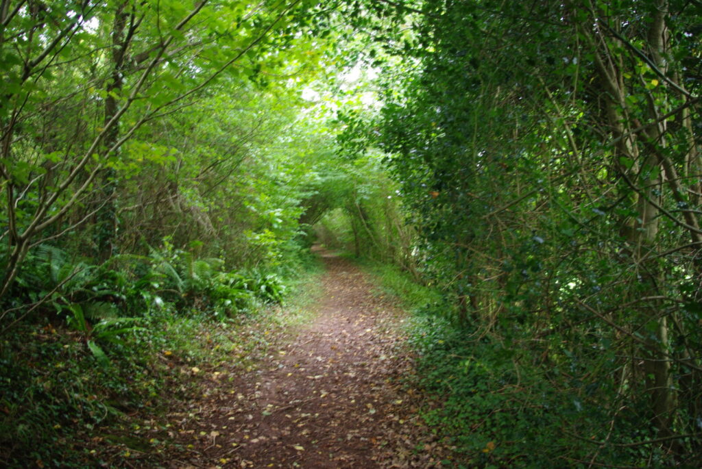
Maintaining second year growth on hawthorn bushes was a particular talking point. This helps ensure a good supply of nectar is available to demanding insects just emerging in May.
Two workshops, in Stogumber and Carhampton, attracted over 25 people who were interested and supportive in linking the two landscapes through nature corridors. A number of issues were raised in the meetings, regarding loss of grants, the impact of grey squirrels, as well as the lack of local skills and services available to implement conservation tasks.
Connecting conservation projects
An overlapping initiative that is complementary to this one is the Friends of the Quantocks’ Elm and Hairstreaks work. That project is confirming the presence of the rare butterfly within the Blueprint area, as well as a significant number of Wych elm surviving in the landscape, which is their food plant. Some butterflies are being found in a number of the proposed corridors that I have included on the maps, so we hope this will help locate best places for disease resistant elms and promote a good population of tall, open grown elm trees becoming scattered across the landscape.
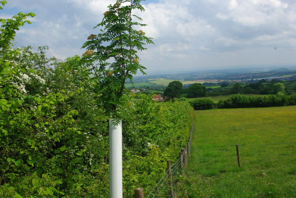
It is also hoped to encourage more hedgerows to be managed sympathetically for wildlife to find cover, food and to be able to move freely across the landscape through a network of green corridors.
Connecting digitally
Part of the original hand drawn map has been digitised by the ecological consultants Geckoella, based in Watchet. In the Habimap format, the maps can be used by consultants and land managers to:
- inform landscape plans
- identify and support managing sensitive land for nature
- adopt the best places to establish a better-connected landscape
- help achieve a balance between nature and farming for food, on the way to the Nature Recovery objective of 30 by 30
